
Sacramento Wildfires: What Areas Are At The Highest Risk [MAP]
The destructive wildfires that ravaged Santa Rosa aren’t unique to that area, and Sacramento may face a similar threat in the future.
By kmvq on November 14, 2017
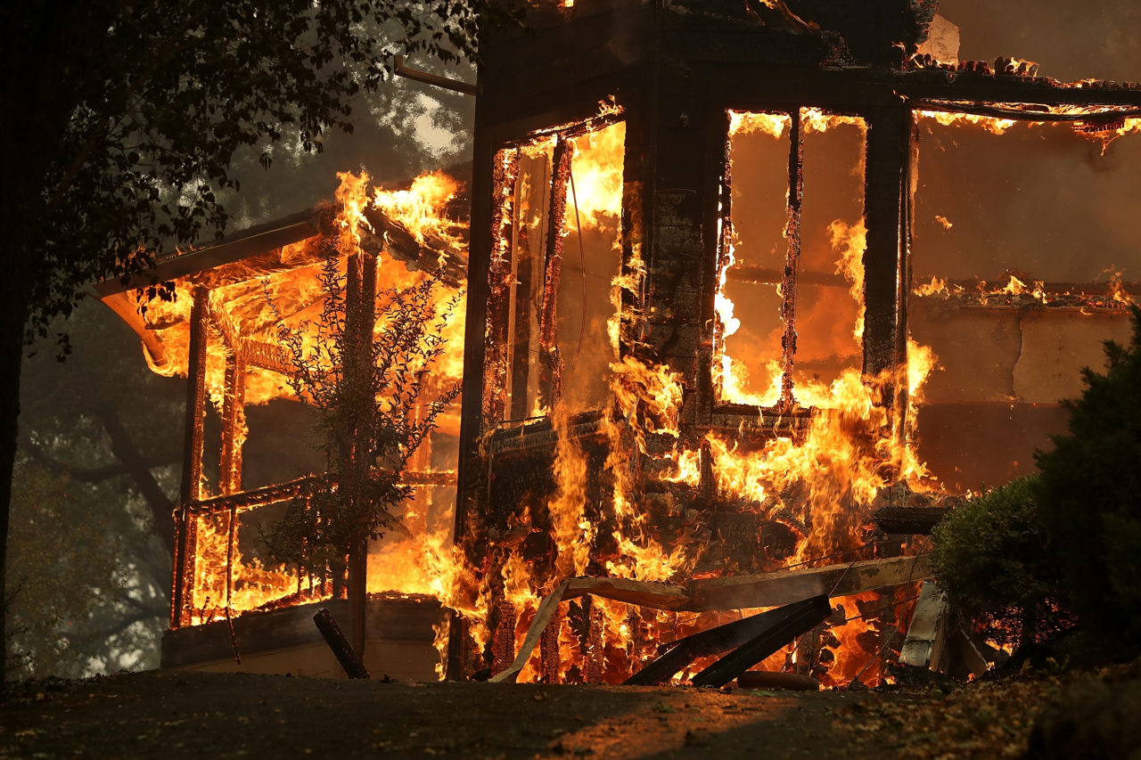
The destructive wildfires that ravaged Santa Rosa aren’t unique to that area, and Sacramento may face a similar threat in the future.
According to the Sacramento Bee, more the 4,600 homes in the Sacramento-region are situated in areas that have a high or very high risk of wildfire.
2,000 of these homes are in Folsom, while Citrus Heights and Elk Grove also contain their fair share.
The biggest threat, however, lies in El Dorado County and Placerville which both huge very high hazard zones.
While scientists are working to try to predict fire behavior with wind models, there are steps homeowners can take to help prevent the spread of wildfires.
Clearing weeds, trash, and shrubs from at least 30 feet from your home can help stop fires from starting.
Learn more here, and see maps of the affected areas right here.